Hours: By Appointment Only
Satellite Imaging
Why is Tiling becoming so popular?
- Cost of Tiling/acre or per/foot has stayed relatively flat for the last 10-15 years
- Profit per acre, it doesn't take very many acres of drowned out crop to turn a profitable tract into a unprofitable piece of ground.
- Land prices and rental rates have not declined much from their peak highs
- ROI (Return on Investment) get higher and higher with indefinite returns
- Tile on your farm will give you a higher rate of return than almost any other asset on your farm each year and it also pays dividends for generations to come.
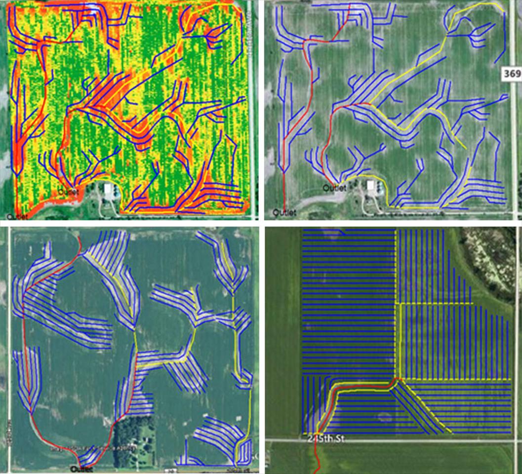
Some fields in South Dakota and surrounding area need every acre in the field tiled, while most fields only need tile in specific target areas. We can overlap yield maps and satellite imagery underneath the design map to pinpoint where the tile lines should start and stop.
Our design software also allows us to give out very accurate estimate. Using yield maps and aerial imagery allows us to know which areas of the field need tile and which areas do not. Proposals like these are given to every customer before the project is started. After each project is completed another map with the tile lines exact location is given to the customer as well. These bids give us the opportunity to pinpoint the problem areas. These maps also allow the bid amount and the bill amount to be almost identical, which means no surprises for our customers.

